 |
| Katie climbing Arthur's Chair in Edinbrough, Scotland |
 |
| No explanation needed for this London icon |
 |
| On Hadrian's Wall in England |
 |
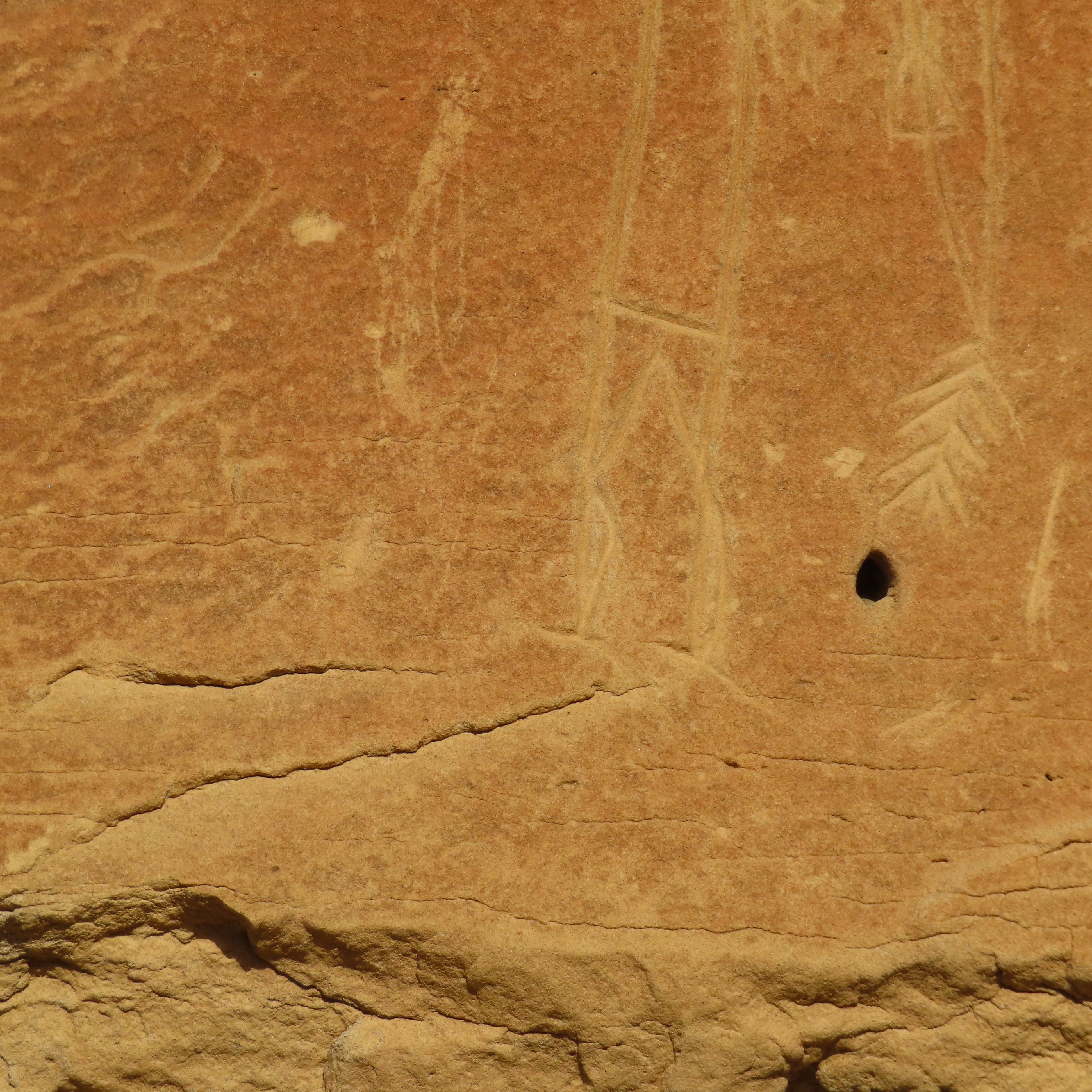
| Stonehenge is a thrilling experience |
 |
| On Westminster Bridge with Big Ben and the House of Parliament as a backdrop |
I guess I would consider this trip to the U.K. and Ireland as a means to fill in some gaps in my education.
It was a must do given my country's history and tight relationship with Britain.
Our first nine days were spent on a Globus tour of England, Wales, Ireland, Scotland and Northern Island. That left us 6 days to explore London. Our tour guide, a native of Northern Ireland, was exceptional.
London is overwhelming, even for this kid brought up in the Chicago suburb of Hammond, IN. Very, very expensive place to be.
Maybe it's the past 51 years spent in Montana's splendid rural isolation.
I was blown away by number of people stacked in London's gargantuan Georgian and Victorian high-rise apartments.
The traffic is dizzying, particularly around the must-see tourist attractions and museums. At every stop we were occupied by the many many, mostly-free high quality museums.
Thank goodness for the remarkably workable public transportation. It helped that many of the attractions are clustered together and were easy to reach on foot.
Some random takeaways:
- I have a deeper appreciation of Ireland's historic beef with Britain. I had expected more of the city of Dublin, which was overrun by tourists, and not particularly architecturally appealing, I really liked the town of Waterford, the site of the renowned crystal manufacturer and home of Irish revolutionary Thomas Meagher, who was a Montana territorial governor. The statue of Meagher on his horse is a replica of the one in front of Montana's state capitol. We were very impressed with the St. Patrick's National Cathedral, oddly enough a Protestant church in this overwhelmingly Catholic country.
- Northern Ireland has rebuilt beautifully since the peace settlement. I wished we had spent more time there.
- Edinburgh, Scotland was my favorite city for its architecture, castle and scenery. We spent one afternoon climbing the Arthur's Chair Crag (mountain) that overlooks this amazing city.
- The historic and well-preserved city of Bath, with its namesake mineral hot baths was a big surprise. It brought into focus for me the Roman influence on Britain. It didn't take a sharp eye to notice those influences. We made a stop at remnants of Hardrian's Wall that Romans built across England from sea to sea to stop the Scots. The city of York is surrounded by a centuries old, intact Roman wall, as is Bath
- We visited the castle in Cardiff, Wales to learn about the fiercely independent Welsh. Here we first encountered the environmental and economic devastation coal has wrought. Buildings still look dirty black despite efforts to clean them. Wales will need to adjust as coal is taken out of its employment equation. Although buildings have been scrubbed, much soot remains. We saw this in communities throughout our trip.
- It would take a life time to cover all the museums in these countries with such long histories. In London alone we did the Imperial War Museum, the Tower of London, Kensington Palace, Tate Modern art museum, the National Gallery, the Science Museum, the Natural History Museum, and the British Museum. We also toured Westminster Abbey. In Cardiff we visited the castle; in Waterford, the glass factory; in Dublin, the national gallery, and Trinity College; in Edinburgh, the national gallery and castle with its Royal Walk. Goodness, there was much more. My favorite: the Tate Modern. My favorite church: Westminster
- We visited Stonehenge and were impressed with efforts made there to keep tourists from over running the place. Still, there were pretty good crowds on this early April visit. You get the sense while visiting of something deeply spiritual and religious to the site where these giant stones were dragged and stacked and aligned with the movement of the sun and moon. I was irritated by all the "selfie" taking folks who treated the visit lightly and as only a photo op (of themselves).
- Unfortunately, we had time for only one play in London's West End --- "The Book of Mormon" --- which we found highly entertaining if pretty gross. We could have gone to a different theater production every day of the week for more than a month. Katie would have liked a play at the Globe or National Theatre if we had the time. We did take a stop at Stratford Upon-Avon for our taste of Shakespeare's birthplace, but I found it too touristy and overrun. I would have liked to attend a classical music concert or opera, but again, no time.
- All the countries and cities have pub cultures, but none so robust as in Ireland, where Guinness is everywhere, and where the brewery is the biggest employer and omnipresent philanthropist.
- The scenery outside of London and the major cities is bucolic and green beyond green. While Montana has cattle, the British Isles have sheep. Much of the scenery reminded me of the Midwest, except for Scotland, where the landscape pitches, rolls and rises to mountains.
- Food? London has every kind of food imagineable, and we sampled Tunisian, Thai, Lebanese, Italian and good old-fashioned English pub food, where I had my favorite meal on the trip --- a vegetarian lentil-based pie. In the country-side, I found the food unimpressive.
- Lodging. We stayed in old, historic hotels in Waterford, Ireland, Edinburgh, Our place in London was a chopped up Georgian building apartment where it was tough to turn around for lack of space. It's location was ideal, though, close to all of the Victoria Station transportation options.


