Thursday, June 01, 2017

The last burst of May: Waterton, Glacier, Highwood Baldy, West Butte Sweetgrass Hills

A band of 14 bighorns gathered near a house, under a tree, in the Waterton townsite

One of a half dozen black bears we encountered in Waterton Park

Waterton's colorful Red Rocks Canyon

High water in Waterton Lake swamps shoreline cottonwoods

More bears on Cameron Lake Road 
A large cinnamon black bear presented himself along the Waterton Road

The May weather was ideal for hiking and we ushered the month out with trips to Waterton and Glacier over Memorial Day weekend, and then climbs of Highwood Baldy on May 30 and West Butte in the Sweetgrass Hills on the final day of the month.
Often Memorial Day weekend is marked by skiing in a spring snowstorm.
This year it was weather in the low 80s with clear skies.
The wildlife was really out in Waterton.  I've never seen so many black bears in all areas of the park.  We spent one of our afternoons hiking to Crandall Lake, where we found clear, hike-able trails.  We also hiked to Blakiston Falls in the Red Rocks Canyon.  Parks Canada has built some really great metal stands overlooking the falls.
Otherwise, we toured the park, ate great meals in the townsite and at the lodge and stayed at a fantastic bed and breakfast in Mountain Home, a small Mormon tourist community 10 miles east of the park.
Of course, we used our Parks Canada pass that gives us free access to all national parks in Canada during this the celebration of the country's 150th anniversary.
Our visit to Glacier was an east-side drive through with a stop at the Jackson Overlook and a hike to the Deadwood Falls.

A Highwood Baldy mountain-top view

It took some snow-slogging to get to the top

Ultra green Highwood Baldy with plenty of wildflowers

Annual Highwood Baldy Spring climb

An annual goal is to climb Highwood Baldy (elevation: 7,625 feet), a Great Falls area landmark, before the cattle are turned onto the national forest in mid-June.
The problem is always the snow at the top, which remains until early June.
This year was no exception.
I slogged the last 400 feet to the top in deep snow, sometimes punching through up to my waist.
My route was the ridgetop walk just west of Deer Creek to the saddle below the large, grassy field below the talus-strewn summit cap. The route is from the spot where Highwood Creek comes across the road for the second time.  Instead of crossing it I follow a fence line to the ridgetop and stay on the ridgetop to the Deer Creek ridge.
The area was resplendent with wildflowers, but none of the alpine variety.
This is a deceptively rigorous climb of more than 3,500 feet and nearly 8 miles roundtrip from its start where the North Fork Highwood and main Highwood Creeks adjoin.
My heavy boots got even heavier after a soaking from the snow.  They seemed as though they weighed 10 pounds apiece.
I couldn't have found a more beautiful day for this climb.  The sky was a cloudless deep blue and the grass as green as Ireland.
I found myself stopping and soaking in the area's beauty many times along the way.

Our Wednesday hiking group follow the fence line up

Wayne Phillips conducts the "smudge" at the top 
Purifying smoke from the burning sweetgrass during the smudge


Steve Taylor on top in a tipi ring with East and Gold buttes on the horizon

Lots of talus on the way up and down

A bucolic scene, Annie Taylor and Wayne Phillips rest in the green grass, with Steve Taylor making his way down

West Butte in Sweetgrass Hills

It had been more than 20 years since I had climbed West Butte in the Sweetgrass Hills (elevation: 6,983 feet) on a cold April day with the late John Carr of Shelby.
A week ago I had climbed Gold (or Middle) Butte in the hills for the third time, and examined the best spot to approach West Butte at that time.
I love the Sweetgrass Hills, which rise like a vision on the dry prairie north of Shelby.
I view them on my many trips to Calgary or from points in Glacier Park or the Rocky Mountain Front.  On a really clear day, they are visible from the Little Belt Mountains.
This isolated island range is sacred to the Blackfeet and there are prayer flags that indicate the mountains are used in vision quests.
We found both prayer flags and tipi rings on the top of West Butte on Wednesday.
Our route began where Nine Mile and Coal Mine roads intersect about 17 miles west of Sunburst.
There's a fenced ranch there and a small creek running through it.  We parked on the road.
A public, state section of land is to the right (or east side) of Limekiln Creek.  Stay along the fence line until it runs out and then slog through the steep grass to the talus.  There are lots of good elk trails in the talus to the top.  It's a climb of 2,600 feet and about 4.6 miles round trip.
The top has a neatly built, tall cairn and is broad, offering a 360 view.  In addition to the tipi rings there were lots of elk sign.
Wayne Phillips, our leader on the Wednesday Wayne's Wild Walks, conducted a sweetgrass Indian "smudge" on the mountain top, burning the sweetgrass, the fumes we doused and purified ourselves in, and invoking the spirit of all living things.
To the east, East and Gold Buttes shimmer on the prairie;  to the north is Canada and the Writing on Stone Provincial Park on the Milk River; to the west Glacier Park and the Rocky Mountain Front; and south ranches, wheat farms, prairie potholes filled with water and a view that reminds me of a vast sea.  On a clear day one could see the Bearspaw Mountains to the east and south, but we had a haze that obstructed the view.
It was a hot day and so we got a 6 a.m. start from Great Falls.  We were on top before 11 a.m.


Friday, May 26, 2017

It's time for Central Montana Island Ranges

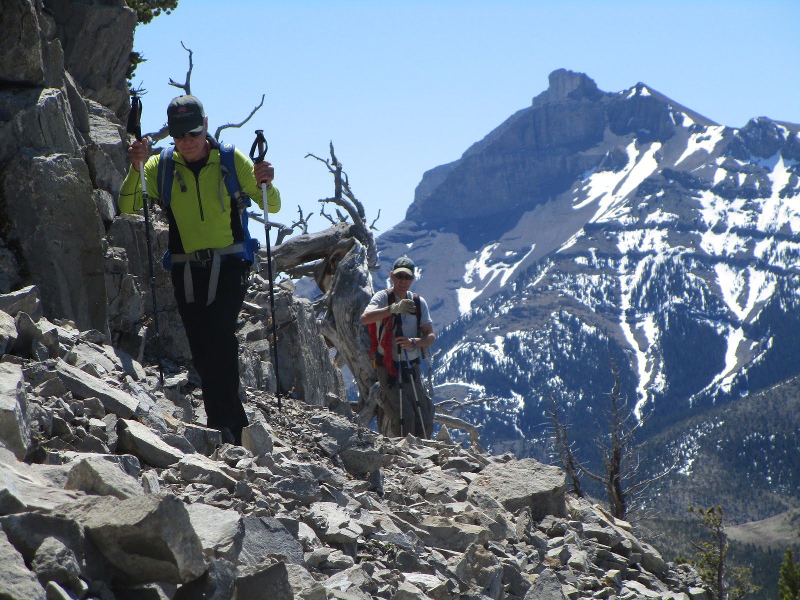
Katie approaches the top of Gold Butte in the Sweetgrass Hills. That's West Butte in the distance

Gold Butte in the background.  Lots of wildflowers. 
Visiting where the 13 Forest Service smokejumpers died in Mann Gulch in 1949


Climbing what is our best guess is where two of the Mann Gulch survivors fled to safety

Crown Butte hoodoos on a glorious day

Still some snow on Highwood Baldy.
I've never been to Ireland to check it out, but I can't imagine that that Emerald Isle is any greener than we are in Montana during this wet Spring.
That has kept me anchored in Central Montana and its Island Ranges where in the past week I've made trips to the Highwood Mountains for the Center Ridge hike, a climb of Gold Butte in the Sweetgrass Hills, another tour of Mann Gulch via the Beartooth Game Range and Gates of the Mountains Wilderness, a climb through a new cleft in Crown Butte near Simms, and a foray into the Little Belts.
Our off-trail Mann Gulch hike followed a ridgeline directly above the junction of Willow and Elkhorn creeks.  As we've done in the past, we tried to located where smokejumper survivors Rumsey and Salee survived the 1949 fire by climbing through a tight opening in the ridgeline, where below 13 other smokejumpers died.  We used Norman MacLean's authoritative account of the fire disaster, "Young Men and Fire" as our guide to examining the gap.
Yeah, that's lots of trips.  The gorgeous weather and clear skies make me crazy if I hang around the house.  This past, rough winter plays a factor, too, propelling me into the mountains as often as I can get there.
All of these trips I've taken many times before and reported here, so I won't repeat them.
In the upper left hand part of this blog you can simply enter the search words like Highwoods, Gold Butte, Mann Gulch and you'll find descriptions.
The ticks don't seem to be as omnipresent as they have been in weeks past, which is a relief.

Tuesday, May 16, 2017

Wildflower display before expected Spring storm

From the top of Rodgers Peak on the east side of Rogers Pass 
First Indian Paintbrush of the year


Lots of glacier lilies means the snow has just left

Blue Forget-Me-Nots, Pink Douglasia alpine flowers

Trying to beat the expected Spring snow storm Wednesday and Thursday, I went to Rogers Pass Monday to climb to the ridge lines on both sides of the pass.
It is nearly 1,400 feet to the east and 800 feet to the west, so I got in about 2,200 feet of vertical in gorgeous sunlight and poofy clouds.
Along the way I was treated to a spectacular display of wildflowers, some of them surprising me because I don't usually see them until next month, particularly the alpine varieties.
On the west side the top was spangled with Forget-Me-Nots, Douglasia, Yellowstone Graba, Prairie Smoke.  These are bright blues, pinks and yellows.
Not far from the trailhead I saw my first bright red Indian Paintbrush of the season, and tons of Glacier lilies.
The east side, which faces away from the dominant sunlight had fewer flowers, but even there the alpines were resplendent.
I didn't follow the trail on either routes, taking the ridgeline to Rodgers Peak on the east and leaving the trail as it opened up to the grass on the west.
There was a lot of snow in the Red Mountain (elevation: 9,411 feet) country and most smaller peaks surrounding it.
Again, I marvel at how handy this Continental Divide Trail country is to Great Falls --- and hour's drive for all this.

Saturday, May 13, 2017

Some catching up

The view of the Austrian Alps from where we had dinner in Salzburg 
Just one of the incredible waterfalls in Plitvice National Park in Croatia


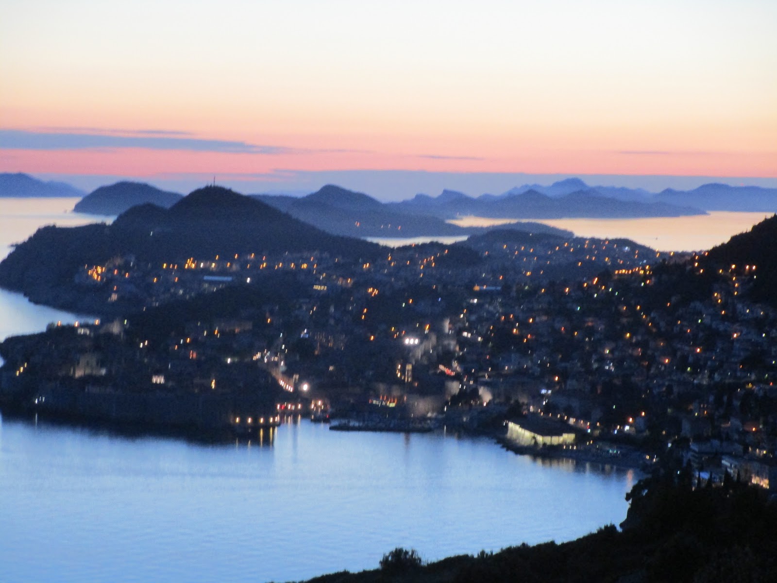
A view of  the ancient walled city of Dubrovnik, Croatia on the Adriatic Coast.
We've  returned from three weeks in Europe to find hiking season in full swing.
This week we tried to atone for our absence by two trips into the Highwoods, one into Glacier Park's eastside portals and a Wayne's Wednesday Walk climb of Wind Peak in the Rocky Mountain Front northwest of Choteau on the edge of the Bob Marshall.
Not that we weren't getting plenty of exercise in the countries formerly known as Yugoslavia;  Slovenia, Croatia, Bosnia Herzegovina and Montenegro, along with Slovakia and Austria.
We hiked in the amazing waterfall national park in Croatia, the Plitvice and along the Dalmatian Coast of the Adriatic Sea.
And in spite of the marvelous scenery and history of these alpine countries, we felt our own Montana scenery, particularly the Rocky Mountain Front, held up admirably well.
That's Ear Mountain on way down from Wind Mountain top in Front

Old Baldy in Front still has plenty of snow


Tuesday, April 18, 2017

Kelseya uniflora hike

The Kelseya uniflora bloom on limestone in the Big Belt Mountains

Close-ups

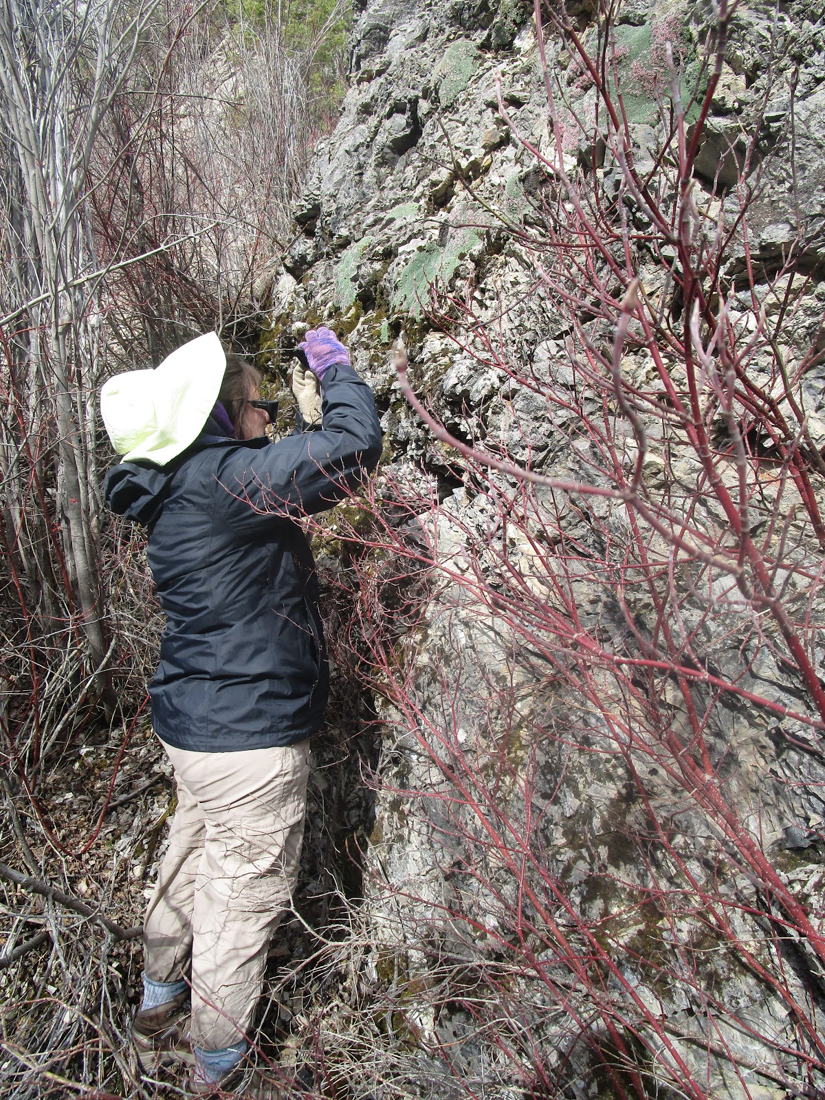
Katie snapping some shots of the wildflower

The Trout Creek Canyon walls rise above the trail like the nearby Gates of the Mountains

Normally my hikes involve a mountain peak or a loop trail.
But, at the urging of my wife, a wildflower enthusiast, the sole object of our hike was to see the Kelsey Uniflora (a rare limestone loving miniature rose-shrub) bloom in Trout Creek Canyon near the old mining town of York in the Helena-Lewis and Clark National Forest.
When I lived in Helena in the 1970s, what is now trail was a scenic road in the Big Belt Mountains known as the "Figure Eight Route" that followed Trout Creek and climbed to the top of Hogback Mountain before descending into the Beaver Creek area.  The 1981 flood obliterated the road and the Forest Service wisely converted the road to a great hiking trail that begins at Vigilante Campground about 7 miles northeast of York.
For me, the Trout Creek Canyon is attraction enough with its towering limestone walls reminiscent of nearby Gates of the Mountains Wilderness.
The Kelseya Uniflora hangs from these walls in full view of the trail up the canyon.
We had a wonderful hike and saw many blooming shrubs.  It was a real treat.
Although this was an early Spring day we saw many hikers, mountain bikers and even horseback riders coming up the trail as we returned.
While there were plenty of Kelseya we didn't see any other wildflowers, although they are blooming in profusion in other areas we've hiked this Spring.
It had been years since I had done this hike, and will return soon.
The road to York is picked up on the Custer Avenue exit off I-15 in Helena.  York is about 20 miles from this exit.  It is paved all the way to within two miles of Vigilante Campground, the trailhead.

Thursday, April 13, 2017

Tromping to Willow Creek Falls in snow

Douglasia wildflowers with Fairview Mountain in background

One of the three Willow Creek Falls 
Working our way through the snow on the path


Our band of five Wayne's Wednesday Walkers made it through the Willow Creek Falls to the opening of the Fairview Plateau via a muddy and sometimes snow-covered trail.
This wintry hike on a gray spring day actually enhanced the beauty of this already gorgeous scenery.
We went about 5-miles round trip, gaining some 800 feet en route taking in the three large waterfalls of Willow Creek in the Rocky Mountain Front west of Augusta.
The scenery was so beautiful I was berated by Camille Consolvo who berated me for not having included it in my list of "Top Ten" hikes for newcomers, something I gave her went she moved to Great Falls from Oregon several years ago.
A Pasque Flower cluster in time for the Pasque on Sunday
Despite the wintry weather, we were rewarded with several spectacular shows of spring flowers, such as a field of pink Douglasia, and many Pasque flowers.  We saw quite a number of mule deer on the road driving in and out.
The day was in sharp contrast to Tuesday when northcentral Montana skies were a beautiful, cloudless blue and the sun shone brightly.
Because of the weekend's snows I strapped on skis and skins and teled Big Seven at Showdown and then went to White Sulphur Springs for a soak. While there were about three inches of snow, it sat a top a wind crust, which broke when I powered my turns.  It was great to be out in the warm sun, but it wasn't the greatest of conditions.....sort of a metaphor for the entire ski season, now over unless I ski Logan Pass at Glacier when it opens this summer.
A "selfie" from the top of an abandoned Showdown ski hill, which closed two weeks ago

Saturday, April 08, 2017

Back to Wagner Basin and Front; a climbing find


Mark Hertenstein looks over the bighorn sheep trail route below the ridge line.  His routes are marked in red lines


Mark Hertenstein is quite an off-trail route-finder, among the best I've climbed with.
On Friday we went back to the Front and Wagner Basin on a blustery spring day and checked out a climbing route he had spotted an an earlier trip.
Just to the east of Castle Reef a high ridge runs south to the Sun River, towering 1,500 feet above the valley floor to the east, a precipitous drop.
Mark confirmed that a great bighorn ledge runs most the more than mile-long length of this wall, about 5 to 10 feet wide in most parts about 100 feet below the ridge line.
We were able to access it through a break in the wall.
In several spots it wraps under overhangs in the wall.
We checked this out for a short distance, but agreed that if we were 20 years younger this would have been something we would have tried to follow for its length.
It reminded me a lot of the breathtaking traverse in Glacier Park known as the Ptarmigan Traverse, a goat trail that hangs on the west side of the Ptarmigan Wall about 3,000 feet above Helen Lake in sight of Old Sun Glacier.  I have done this traverse four times and think it to be the most exciting thing I've ever done in the park.
I've included several photos of this Sun Canyon Wall bighorn path.

Thursday, April 06, 2017

Wagner Basin spectacle

In Wagner Basin below Castle Reef 
Three rams in one of the three bands of bighorn sheep we encountered


Nice drop off on ridge line 


Wayne Phillips enjoys the view from the ridge
Although I haven't posted for a few weeks it doesn't mean I haven't been out and about.
I have given up on backcountry skiing, though, and begun hiking.
I've scaled Mount Sentinel in Missoula and Mount Helena, done a short trip on the Pioneer Ridge in the Little Belts, and Wednesday did a spectacular hike in the Wagner Basin of the Sun Canyon in the Rocky Mountain Front west of Augusta.
There are no designated trails in this open area beneath Castle Reef and along the Sun River. Access is from Home Gulch and a small parking area at the southern tip of the reef. We walked beneath the reef along a number of cliff bands, gaining and losing about 2,300 feet on the 5.3 mile hike. We saw three bands of bighorn sheep and many whitetail deer that love the willow covered Sun River bottom. We saw early spring flowers like the pink/purple Douglasia, and Pasque Flower.
This simple hike delivers some of the best of the east side Bob Marshall Country:  high, snow-covered peaks, and fabulous vistas.
Indian pictographs/handprints

Driving to the canyon we stopped by the Sun River Game Range viewing area and could spot easily 1,000 elk grazing beneath Sawtooth Mountain.
Wagner Basin is a good choice this time of year because the elevation is windblown and there is no snow to contend with.  There was snow above 6,500 feet, however.
After the hike we stopped by the bridge over the Sun near the Gibson Dam road to view Indian pictographs.
Beware:  the ticks are out.

For map, more photos, CLICK HERE.

The basin's famous "skull tree" of birds painting on deer skulls and hung from the tree 
Douglasia wildflowers in bloom


We encountered a few patches of snow 
The bushwhack along the Sun River bottom


Thursday, March 09, 2017

Sunset Mountain again; best powder of season

Lots of snow has fallen at Rogers Pass
This backcountry ski season continues to remind me of 2005 when it took until March for the best snow and best skiing.
We're in the midst of a series of storm pulses that are dropping terrific snow, particularly along the Front and Continental Divide.  We could see as much as two feet of new snow in the days ahead.
The wind is a bit troublesome, but the snow makes up for it.
Our Wayne's Wednesday group diverted from the Teton Ski Resort area Wednesday to Rogers Pass because we saw forecasts for a big dump that would make negotiating the Teton Road a bit tricky.
Besides, why drive 2 hours to ski when a simple hour to Rogers Pass would give us just as good a day out.
We did the Sunset Mountain ski from the pass, 6 miles out and back, with about 1,200 feet of gain when we counted the telemark turns from the top.
Where we tele turned below the top
 It was the best powder of the season, by far.
I had done this ski just 10 days ago and found it even better Wednesday because there was new snow.
After climbing to the telecommunications towers at the top of the peak, we hit the tele slopes just below it, really an old clearcut.  We probably should have stayed longer than we did.
I'm a big fan of passes along the Continental Divide, particularly Marias, just south of Glacier Park, Stemple and Flesher and especially Rogers.
Rogers is as close to Great Falls as Kings Hill Pass in the Little Belts, except the road is better.  It takes an hour to get there and it delivers you to the Continental Divide Trail, with great skiing to the south, or as was the case Wednesday, Sunset Mountain just east of the trail.  Rogers also opens up the possibilities of skiing in the Mike Horse Mine Area or Cadotte Creek, both a short distance from the pass.
We shared the pass with a logging truck

Beautiful kick and glide conditions most of the way 
Gorgeous snow at the top

Sunday, March 05, 2017

Snow good, three eclectic trips

Skiing up the Jones Creek bottom with Choteau Mountain to the east


One of the most gorgeous valleys on the Front

Finally getting some good snow and I was out in it three times in the past week:  Bender Creek to Hoover Ridge in the Little Belts, a quick run on Silver Crest Cross Country Ski Area, and a gorgeous afternoon in the Rocky Mountain Front.
Bender Creek was a compromise for Wayne Wednesday Walks old-guys group.  Four of us showed up, hoping to catch the great, new snow at Rogers Pass and possibly do Sunset Mountain again.  But....I was overruled by our group that feared the strong winds coming from the west.
Instead, we headed for Bender Creek, just east of Monarch, an area that I generally don't like because it doesn't get much snow cover and is often icy and rocky.  On Wednesday it had a little more snow than usual, but the rocks were still there, and I rocked up my skis pretty severely.  It is three miles and about 1,500 feet to Hoover Ridge.  Along the way above the creek there are great views of the peaks from open and very ski-able parks.  We played a bit in these parks and for the most part avoided the winds from the west by being in this enclosed north and east facing valley.
I skinned up on the way down to avoid getting out of control in the narrow bottoms.  I shouldn't have.  The snow was good enough to have teled down, and I missed out on that fun, just compounding my displeasure with rocking up my skis.  It turned out this was a fairly good choice, but I think we all realized that Rogers Pass would have been better.  Oh, well.
On Thursday my wife asked me to check out Silver Crest to make sure there was a passable snowshoe trail for her Big Brothers and Sisters outing on Saturday.  That took me less than an hour, and so I took off the snowshoes, put on my skis and did a 3 mile loop on pretty good snow-covered trails.  I hadn't been to Silver Crest in a number of years and was impressed with the snowshoe trail work and signs.  This is a very nice area for the less adventuresome.
On Saturday we went up the Teton Pass Ski Area to see the large amounts of snow, more than 60 inches with 12 inches new on the slopes.  We climbed the hill to the north and tele skied back down the to lodge, but felt that the snow was just too heavy to do many turns.  The sun had hit it the day before and it was heavy.  So, we went down the road to Jones Creek, which lies in a stunningly scenic valley of high peaks in all directions ---- Choteau, Guthrie to the east, Cave, Ear, Wind to the south, and the high unnamed peaks to the north and west.
It was windy, but the snow was pliable and we toured up the bottom for several miles, stopping for a lunch in brilliant sunlight.
 Bender Creek meadow