 |
| In the Great Bear Wilderness at the high point on the ridge opposite Baldhead Mountain . |
This past weekend I found out after reserving "Zip's," a Forest Service cabin a half-mile from the Great Bear Wilderness Area near the Geifer Creek trailhead.
Zip's was built in 1954 by the Kimmet Family of Cut Bank and named for "Aunt Zip," who was the first in her family to own the place. She died in the early 1990s and the Kimmets sold it to the Forest Service, which rents it to the public for $50 per night.
It is well the worth the price, with a furnished living room and dining room, two bedrooms, six beds, a kitchen with electric stove, refrigerator and microwave and a propane gas stove (no wood fireplace).
This is the fanciest of the Forest Service cabins I've rented.
 |
| Luxurious living arrangements at Zip's Place, although cave-like with the snow over the porch |
Here we loaded up sleds and pulled them over the road to the cabin.
Snowmobiles frequent this road, which packs down the snow and makes the pull easier.
When we arrived at the cabin, we found that the heavy snowpack on the roof had slid down in front of the porch, essentially creating a cave.
The looks of the area are very similar to the area around Essex ---- the rounded, steep mountains with their avalanche chutes, the trains chugging in the distance, the large, mature trees that give the area an enclosed feeling.
 |
| The Geifer Creek Trail sampler |
We could see that about 500 feet above us the rain was falling as snow in the trees.
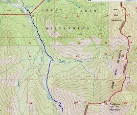
We headed up the Geifer Creek Trail, which travels through fairly thick tree cover, gaining about 800 feet to the avalanche runouts below Baldhead Mountain (elevation: 7,794 feet) that towers over the drainage.
There, we tentatively ascended, taking tele turns back down to the bottom along the way.
 |
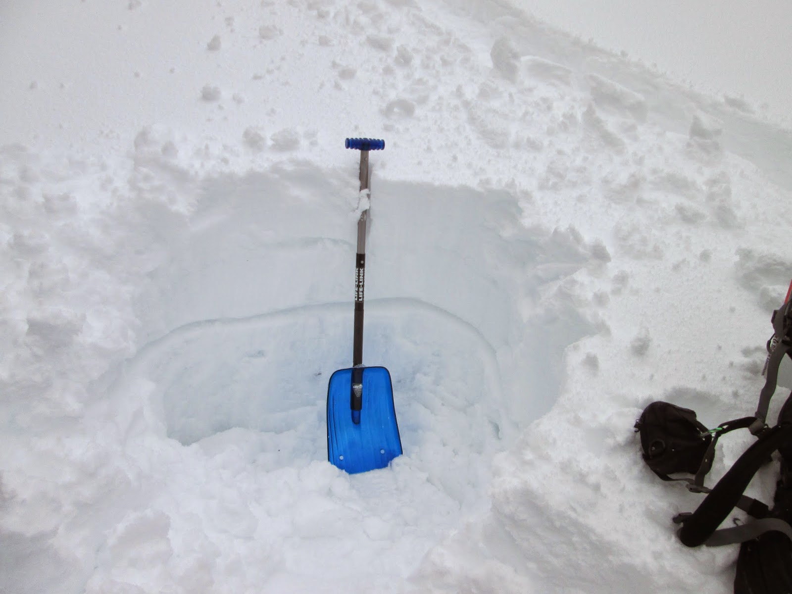
| The snowpit |
The views here of the rows of mountains in the Great Bear and on the south end of Glacier Park, were magnificent. Such an alpine scene!
On the way back, about a mile and a half from the cabin, my ski binding broke, effectively ending what was to have been two days of skiing. I walked back in the ski tracks.
 |
| The blue line was our route. |


No comments:
Post a Comment