In the past three weeks I've explored the Bender Creek Ridge in the Little Belts off-trail looking for good ski routes, climbed Big Baldy Mountain in the Little Belts via Snow Creek, done two stretches of the Continental Divide Trail, an 83-mile, 6-day backpack from Homestake Pass near Butte to Lake Seymour in the Anaconda Pintlar Wilderness, walked the CDT from Flesher to Rogers climbing named high points along the way ---- Anaconda Hills, Rittel and Rodgers peaks, and visited friend and lookout ranger Samsara Chapman atop her Patrol Mountain perch in the Scapegoat Wilderness.
Certainly, the high point was the CDT walk in the Butte area with friend Steve Taylor.
Taylor is attempting to complete the full Montana section of the CDT, a 500 miles plus journey.
However, for sheer spectacle, it is hard to match the views from the Big Baldy Ridge.
CDT: from Homestake Pass to Lake Seymour in Pintlars
 |
| We encountered the Boulder Batholith spires along the way |

 |
| Steve Taylor treating our precious water |

 |
| More spires |

 |
| Clouds on a perfect summer day |

 |
| The finale of the 6-day trip |
This was a trip to accompany Steve Taylor, who is trying to complete the Montana section of the Continental Divide Trail.
I learned a lot about what a section or even a full walk-through hike on the CDT entails on this 6-day trip.
- Although this is a national trail you must be prepared to route-find. We lost our trail in several spots
- Water is a constant concern and full days are planned around when and where water can be found
- You keep moving
- This is not wilderness, although there are some wilderness-like stretches
- You walk roads, jeep trails, and ORV trails much of the way in this section
- I have a deep appreciation for the state Mount Haggin Wildlife Management Area, given to Montana by the Anaconda Co. in the late 1970s. This is a treasure that abuts the national forest.
We set a goal of walking a minimum of 12-miles a day, but did 14 and 16-mile stetches.
The Boulder Batholith, outcroppings of immense rocks like one might find in the Sierras were with us most of the way. These were very scenic.
We caught many glimpses of Butte's cavernous Berkeley Pit from various vista points, and even saw Our Lady of the Rockies.
The ORVs have overrun many sections of this Deerlodge-Beaverhead National Forest.
We were surprised at how few people we encountered on the trail: in six days there were two Forest Service trail crew members clearing logs, and that was it.
We lost our way on the second to the last day about a dozen miles below Seymour Lake and ended up walking the road to our final destination.
Our weather was absolutely perfect for this long trip: in the 60s and 70s, but in the upper 30s at night that left our tents saturated with condensed air turned into moisture.
Steve was fabulous company.


Big Baldy in Little Belt Mountains via Snow Creek
 |
| Snow just below the ridgeline |
 |
| The top was flat --- just perfect for a walk |

 |
| It was hard to tell the trail from Snow Creek in spots |

 |
| On the summit ridge |
I've climbed this highest peak in the Little Belts (elevation: 9,175 feet) from four different aspects, and used this route twice in the winter on cross country skis.
The approach is from the Dry Fork of Wolf Creek out of Stanford up Snow Creek. I had never done it this way in the summer.
What we didn't expect was high snowmelt that swamped the trail for the first few miles, requiring numerous crossings. We finally just got in the creek to cross, although some of the trail was ankle deep.
Although this trail is open to motorcycles, we found little cycle useage of it and noted its high backcountry/wilderness qualities.
This is a incredibly scenic peak, while almost flat on top.
It requires a talus scramble to get to the ridgeline and then it is a two-mile way above two glaciated cirques with alpine lakes in them: Twin lakes in the north cirque and Lake Rhoda in the south cirque.
There was plenty of snow in the couloirs below the ridgeline.
We had a glorious day for hiking and encountered many alpine wildflowers and had tremendous views in all directions, as far north as the mountains on the Canadian border, including the Geraldine Square Butte, and the Absaroka Mountains to the south bordering Wyoming and Yellowstone Park, Island Ranges to the east and the Rocky Mountain Front to the west.
I don't think most Great Falls residents appreciate what a scenic treasure this mountain is.
On top you look down on the Little Belts in every direction and can see its vast expanses of wild country despite its many jeep, ORV and motorized trails.


CDT: Flesher to Rogers passes while bagging three peaks
 |
| Horse Mint |

 |
| Open ridge line |

 |
| Katie atop Rittel Peak, one of three climbed along the way |
The Flesher Pass to Rogers Pass segment of the Continental Divide Trail is 13 miles long, but with the addition of the three peaks ---- Anaconda Hills, Rittel and Rodgers --- it was 15 miles with 4,200 feet in elevation gain.
I had done this run on two separate cross country ski trips and had never done it as a hike, so I count this as something new.
It is an absolutely gorgeous hike with great, scenic views in all directions, going from forested to open slope.
The wildflowers were particularly gorgeous. There were large stands of horsemint, and anise, and beautiful Indian Paintbrush displays. This has been a really bad year for beargrass, so we saw only a couple of this beauty.
Katie is trying to get 20 peaks in 2020, so that's why we went out of our way to get these three bumps on the ridgeline.
The big surprise was when we hit the top of Anaconda Hills and there were numerous bitterroot flowers blooming where grizzlies had "rototilled" the soil, digging up biscuitroot plants.
We met four south-bound CDT through hikers on the trail, a stark contrast to my 6-day journey last week where we saw none between Homestake and the Pintlars. These hikers think they'll complete in November. Three had started at Marias Pass because of the Blackfeet ban on non-tribal members during the Covid pandemic. The fourth wanted to make sure to do the whole thing, so he started at the Canadian border on the west side north of Polebridge, walking to Marias.


The annual Patrol Mountain trip
 |
| Patrol Mountain above Straight Creek |

 |
| Samsara on the job |

 |
| The colorful ridgeline looking toward Hoadley Reef |

I figure I've done the climb of this roughly 40 times because I try to do it annually.
An incentive is to talk to lookout ranger Samsara Chapman who is up there for her 24th consecutive year and with her new dog, Mae, is as enthusiastic as ever about the job and the scenery.
There's still patches of snow in Honeymoon Basin as well as just below the ridge's saddle below the top.
Otherwise, Sam has done an excellent job of clearing trail.
I chose this hike because it is quick and fairly easy.
The crossing of Straight Creek didn't seem near as cold as usual, and I took only 2 hours and 45 minutes to reach the top.
I love the views directly west to Hoadley Reef and Twin Peaks and Scarlet Mountain deep in the Bob Marshall Wilderness.
Directly to the south there's the big peaks on the ridgeline ---- Scapegoat, Triple Divide and Flint. Off to the east, Sawtooth pokes up its head, and north there are the high Teton peaks, including the Bob's biggest, Rocky, and sister lookout Prairie Reef.
The flowers were really exceptional, particularly the lavender penstimen, the deeply purple vetch and even some alpine favorites.
This hike is so exciting because of its alpine nature. You feel somewhat wobbly on the high trail above Honeymoon Basin and in the multi-colored saddle beneath the lookout.


Bender ridge walk
 |
| The view toward Mounts Barker and Clendenin |

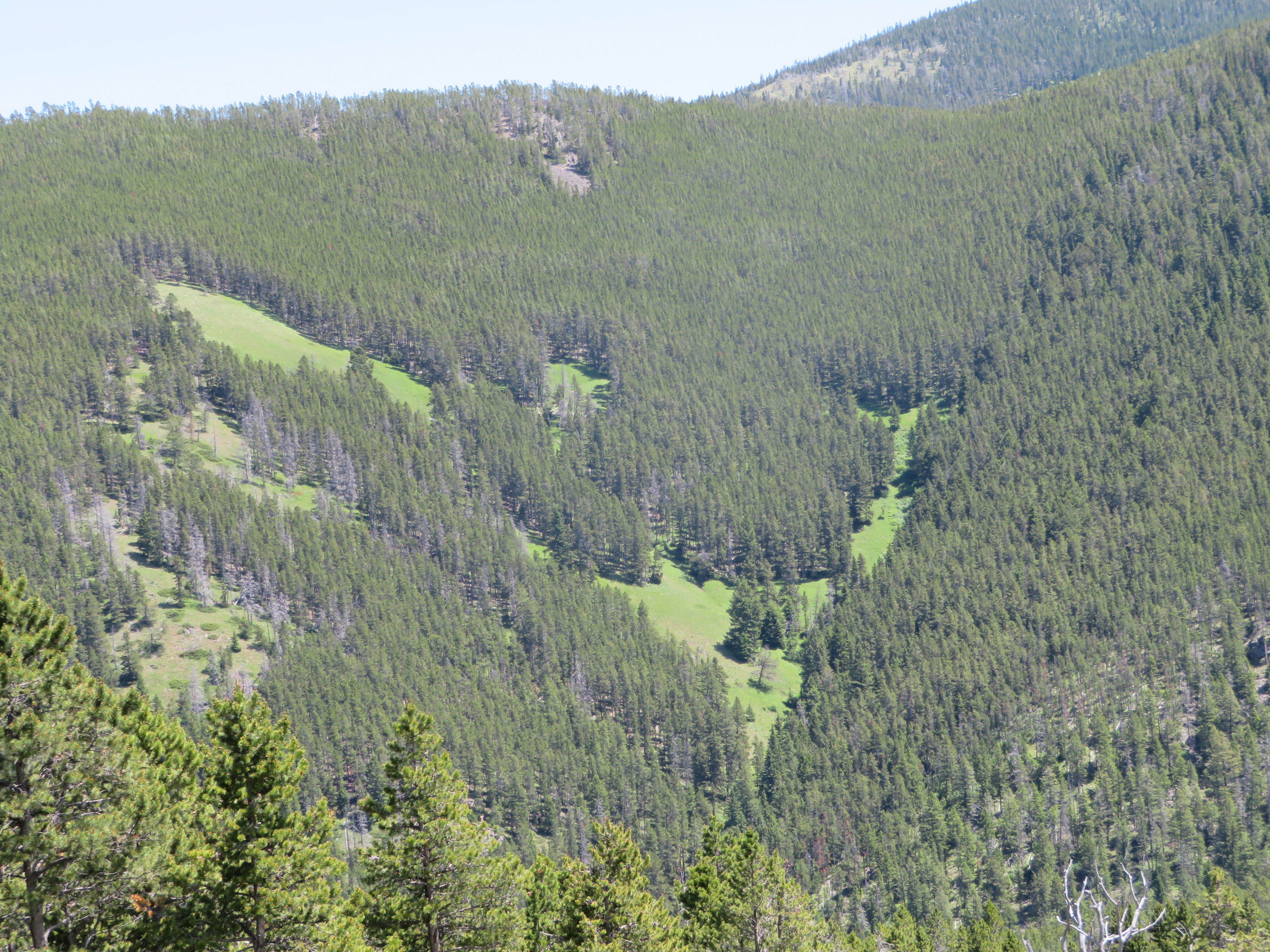 |
| Open elk meadows in the distance |

I chose this off-trail hike accidentally.
The trail was just too full of water from all the rain we've received, and the water was deep enough that I didn't want to cross and recross.
Bender Creek is up the Dry Fork of Belt Creek, and is a regular backcountry ski destination to the top of the Hoover Ridge in the Little Belt Mountains.
I worked my way up through deadfall and along outcroppings to the ridge top from the trailhead and was delighted to find a generally open and grassy ridgeline that stretched all the way back to the junction of the trail just beneath the final pitch to the top of Hoover Ridge.
This appears to be big elk country and there are terrific views of the big mountains on the north end of the Little Belts.
I surveyed the area, hoping to stake out a cross country ski route, but found that there are probably just too many downed trees to make that practical.
Yet, it was a wonderful solitary hike worth doing.


No comments:
Post a Comment