 |
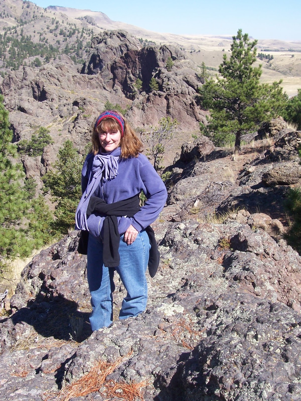
| Katie on the Tower Rock ridge line |
 |
| Well marked trailhead off I-15 |
 |
| Atop the ridge |
Sunday we tried Montana’s newest state park, Tower Rock State Park, located just off the Hardy Creek exit on I-15, 33 miles south of Great Falls.
We can thank Helena and part-time Hardy Creek resident Cheryl Hutchinson for this fine addition to the park system.
Several years ago when I was associate editor at the Tribune Hutchinson called to raise warning flags that the state was going to sell this 136 acre parcel for potential subdivision development. It had been owned by the state Department of Transportation and was undeveloped and considered surplus property.
She doggedly fought proposals to sell these towering spires above the Missouri River not only because of their beauty, but because of their historical significance for its part in the Lewis and Clark Expedition. It marks the spot where the expedition left the plains and entered the mountains.
The state relented and now we have this largely pristine park a half-hour’s drive from Great Falls.
Here’s what the state Department of Fish, Wildlife and Parks Web site has to say about it:
“Tower Rock State Park is significant in its reference in the Lewis and Clark Journals. Meriwether Lewis loved it there. As he wrote in his journal on July 16, 1805, ‘At this place there is a large rock of 400 feet high wich stands immediately in the gap which the Missouri makes on it's passage from the mountains... This rock I called the tower. It may be ascended with some difficulty nearly to it's summit and from it there is a most pleasing view of the country we are now about to leave. From it I saw that evening immense herds of buffaloe in the plains below.’”
Signs from the interstate highway direct the traveler to a well-marked parking area that contains an information kiosk and four interpretive signs. After passing through a fence, which keeps out motorized vehicles, a hiking trail presents itself angling along the east foot of a ridge of volcanic mountains and spires.
The “tower” or high point is at the south end of the ridge, about a half mile from the parking lot. However, it is another 400 feet or so elevation gain to that point.
The interpretive signs indicate that Lewis didn’t climb this tower, but another point about a quarter mile to the south.
As the informal “trail” ascends to the ridgeline it forks. One trail goes to the tower high point, the other to the ridgeline heading north where Lewis went.
We first went and climbed to Lewis’s vantage point and I tried to envision what he might have seen. What I saw was breathtaking: fresh snow in the nearby Adel Mountains, the Missouri River and Hardy Creek below, with the fall-tinged yellowing trees brightening the drainages, the Great Plains to the north and east, broken only by the top of the Highwood Mountains.
The cliffs at this park are very characteristic of the Missouri River canyon and Mountain Palace just to the south ---- a purplish, reddish volcanic color.
We had a crystal clear day and decided to follow the ridgeline over to the high point tower and see what possibilities there might be to climb to the top of that.
It was an easy scramble to a saddle below the summit cliffs, which rose another 30-50 feet overhead.
There are several breaks in the cliffs, one that looked very promising, but because it had snowed and rained the night before I opted not to attempt it. I think I’ll return with a climbing partner, helmets and a small length of rope to scale this tower.
In looking for other breaks in the cliffs we traversed the tower entirely, returning to the saddle, from which we descended to the main trail and back to the car.
We lingered for awhile in the empty parking lot, thinking that once Great Falls discovers this area, it will be much used and beloved.
No comments:
Post a Comment