 |
| Dwight Smith, fresh and perky at the beginning of the trip with Ear Mountain in the background |
 |
| He's reached the summit ridge |
 |
| I'm alone on top; Dwight decided not to ascend the summit cap |
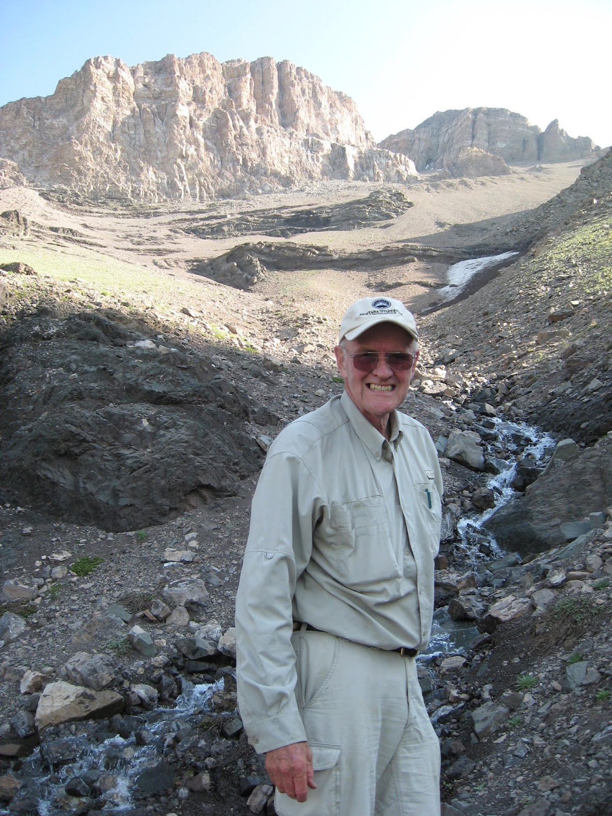 |
| The valley we've just descended |
Well, that’s where I’m at to describe my Ear Mountain climb on Thursday.
In my book “Discover the Rocky Mountain Front,” I encourage climbers to ignore the BLM designated trail that approaches the mountain from the north, arguing that it is a long, circuitous route that can be confusing. The trail deadends at an open field in front of the mountain, Yaeger Flats, and there’s a confusing and long cross country approach to climb the peak.
I suggest going to the Ear Mountain Wildlife Management Area parking area on the mountain’s east side, and immediately begin ascending the mountain, aiming for the base of the cliffs and then moving to the south side of the mountain to its only climbable break in those cliffs.
I wish I had followed my own advice, and I’m sticking to it.
Climbing partner Mark Hertenstein had climbed the mountain a couple of weeks ago by way of that north approach and raved about the beauty and ease of climbing the mountain up a hanging valley on that face.
I will not dispute the beauty of that valley.
It is of the overall approach, and where I went wrong that got me into an epic trip that ended at midnight after some might ugly bushwhacking.
The trip was one I had promised to Dwight Smith of Great Falls for some time.
Unfortunately, Dwight almost immediately began to have cramping trouble. Ultimately, it cost him the peak, a goal he came within 300 feet of achieving. I am astounded that given the cramping that he was able to gut out the bushwhack. The cramps slowed us down considerably.
Where we went wrong was in assuming that a good pack trail west of Yaeger Flats would lead us to the Nature Conservancy/Gleason Ranch. When we reached the end of that trail we were between the Bear Gulch ridge and the east face of Wind Mountain, a beautiful spot. It is about 2 miles west of the ranch. But, the water in the South Fork of the Teton River is so high that we didn’t dare try to cross it.
So, we made a decision to try and bushwhack in the bluffs above the South Fork to a point where we could walk down to the ranch at a spot where we wouldn’t have to cross the raging creek.
The sun was starting to set at this point, but we figured we had no choice. I felt that to backtrack on the horse trail was risky because of its length back and because I was uncertain of where it might intersect with the Ear Mountain Trail.
What we didn’t count on were the tight doghair from the pines in the bluffs and the fact that the bluffs were so tight against the creek that we had to upclimb more than 1,000 feet just to get clear walking.
In the meantime, daylight was becoming scarce.
We decided that our best chance was to follow the ridgeline to just above the Gleason Ranch and then try to descend to the ranch.
At 10:30 p.m., we found ourselves with little twilight, poor visibility and climbing rock to stay on the ridge.
Just when we had pretty much given up hope, the terrain descended and we crossed a very good, improved pack trail that seemed to head in the direction of the ranch. It was an answer to our prayers!
It did, and we headed down in the dark, relying on my headlamp, some 1,500 feet to the creek.
How dismayed we were when the trail ended at the creek, just as before.
After consulting the topo map we figured that we were less than an eighth of a mile from the ranch, separated from it by more bushwhacking and a cliff. We had no choice but to bushwhack up that cliff in the dark and keep our fingers crossed that we had read the map correctly.
Luck was with us.
At the bottom of the cliff we found a fence line that we followed to a road that went right through the ranch, where everyone was tucked into bed.
Relieved and happy, though extremely weary, we walked down the road reaching the BLM Ear Mountain parking area at midnight.
This is why I call this trip an epic.
Some additional thoughts on Ear Mountain:
· While I discourage using the BLM route to climb the mountain, I encourage it as a dayhike to Yaeger Flats. It rises about 1,000 feet offering spellbinding views of the Front, the mountain, and into the Bob Marshall Wilderness Area.
· There were lots of sign of elk and grizzly. Dwight got a glimpse of elk; I didn’t. We were also delighted we didn’t see grizzly during the bushwhack.
· No matter which way you take the mountain, it is well worth doing, even though there is a 3,500 feet gain. The scenery on the climb is spectacular in all directions.
· We ascended the mountain on the ridge that points at an 8,000 feet high point. Hertenstein’s gully in the hanging valley just east of there would have been a better route to the ridge.
· The scree run in the hanging valley is well-worth doing and a quick way off the mountain, although care should be taken around the cliff bands. We encountered a patch of snow and ice in one of the bands we had to work around.
No comments:
Post a Comment