 |
| Arriving at the South Fork Waldron Lake |
 |
| Time to adjust gear and have lunch |
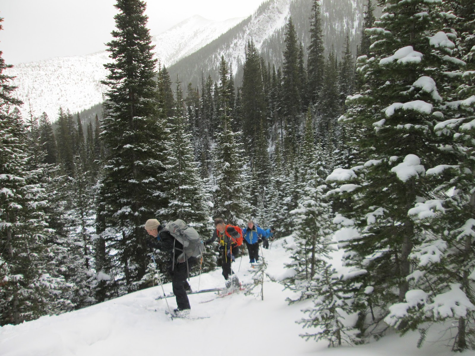
It rises 1,500 feet over nearly 6 miles to a shallow lake at the foot of a tremendous headwall in the Rocky Mountain Front.
This area is northwest of Choteau on the Teton River Road.
We hit it Wednesday after a couple of inches had fallen over the snomo tracks, recognizing that it would be fast on the way down, and hoping that we'd find better snow up at the lake.
Bingo!!! Both were true.
Because it was mid-week, we saw no other parties, no snowmobiles.
It was 28 degrees when we started, but it must have been in the teens with a wind at the lake, causing us to do a quick lunch.
We had really worked the final mile of the trip, side-stepping for those of us not using skins, so turning around in really great, untracked powder for about 500 feet of downhill tele was thrilling.
Not so thrilling was traveling down the iced, narrow tracks below at breakneck speed. I fell as many times on this stretch as I sometimes do an entire season.
This is primo Rocky Mountain Front country with high reefs and headwalls everywhere around us.
Yes, we wore avalanche gear, but we didn't need it.
Here's a route map, with photos and GPS data.
Click here for map, photos and GPS data


No comments:
Post a Comment