 |
| Folded limestone above Meriwether Canyon |
 |
| Looking down on the Missouri River near the Gates |
 |
| Dave Ashley views a marker where one of the smokejumpers died |
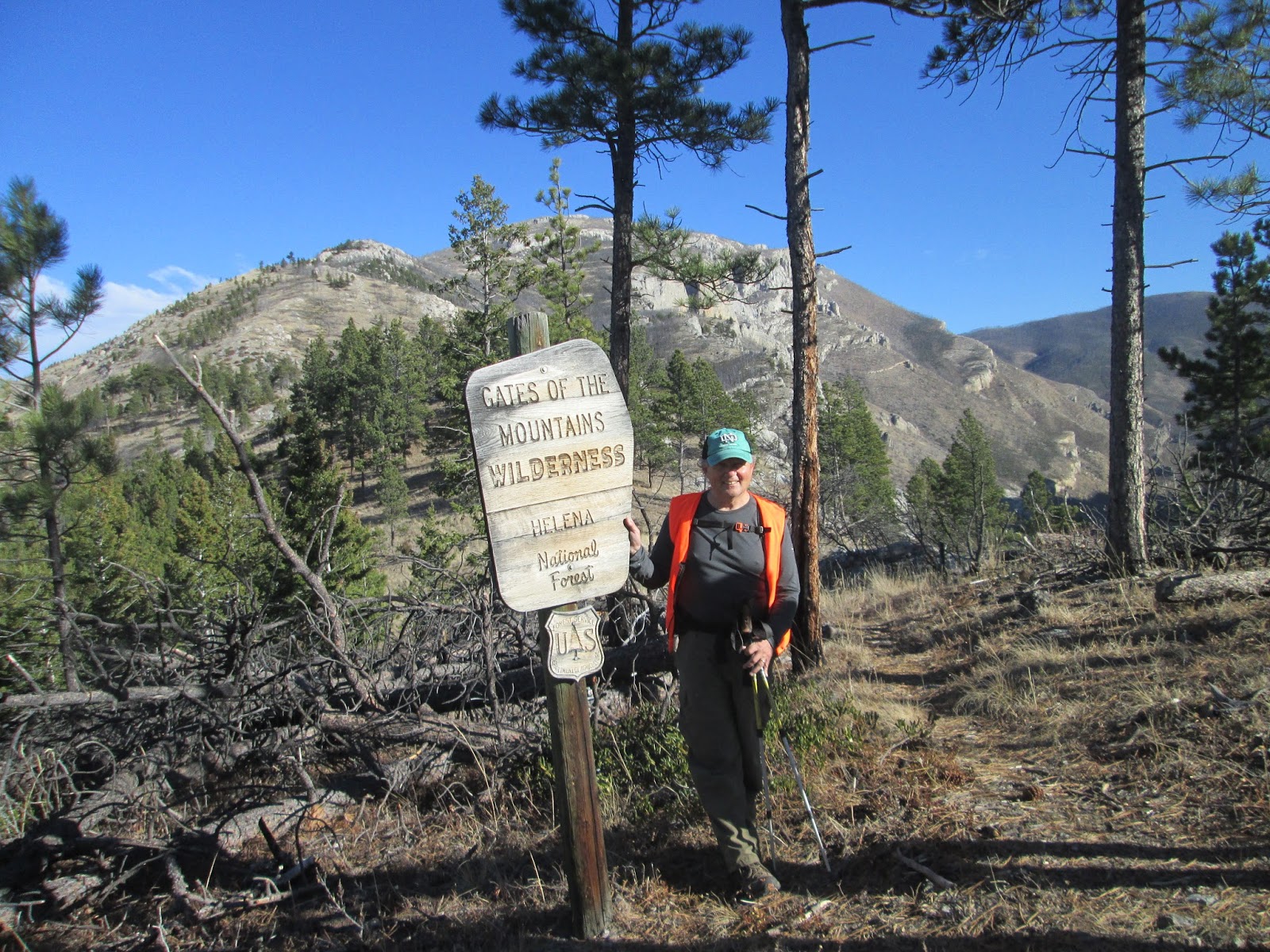 |
| At the wilderness boundary near Willow Mountain |
Here it is nearly mid-November and we're hiking, not skiing.
We took advantage of 60 degree weather and clear skies Saturday to traverse Mann Gulch in the Gates of the Mountains Wilderness, the site of the 1949 forest fire tragedy that killed 13 Forest Service smokejumpers.
The spots where they died are marked with crosses and monuments in this remote site.
In the past it has been difficult to reach this site because the best trails are reached from the Missouri River, which means traveling by boat.
About five years ago retired smokejumpers built a nice trail from the Willow Creek side of the wilderness off the Beartooth Game Range.
Instead, Saturday, we headed up a hunter's trail on a gulch just west and a little south of where Willow Creek flows into Elkhorn Creek on the game range, bypassing the new trail.
It was a quick 2 miles and about 1,000 feet to the saddle above Mann Gulch, much quicker than the new trail or coming up from Meriwether Canyon or up Mann Gulch from the bottom.
We added a ridge walk from the saddle to where the trail plunges into Meriwether and then bushwhacked down to the Mann Gulch bottom before heading up to view the monuments.
We covered roughly 7.1 miles and gained nearly 2,700 feet on this hike.
For me, the highlight was walking the ridge between the saddle and where the trail headed down to Meriwether. There are fantastic views of the limestone walls and ridges and Willow Mountain. There are also great views of the river near the mythological "gates."
Although we enjoyed this summer-like day, we realize that we badly need snow.
Wayne's walk:
Earlier in the week our Wayne's Wild Walk took us on a little-used trail in the Little Belts, really a ridge trail across the top of Porphyry Peak, No. 747. However, we only went from Jumping Creek trailhead to the Mizpah Bowls and back to our car to check out as a backcountry ski trip. It most certainly is, from Kings Hill Pass back to Jumping Creek Trailhead, about 9 miles.For more, a topo map of hike and additional photos: CLICK HERE
 |
| On the ridge below Willow Mountain |
 |
| Sleeping Giant Mountain |
 |
| Above the oxbow on the Missouri |
1 comment:
Cool, thanks for this!
Post a Comment