 |
| This is the mountain we tried to climb on its west ridge (left) getting blocked 600 feet from top |
 |
| The trail opens into lovely green meadows full of wildflowers |
 |
| Look hard and you'll see Mark Hertenstein in the scree |
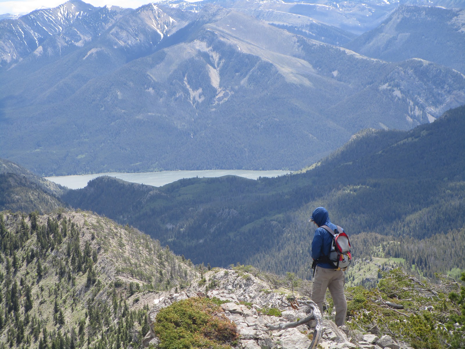 |
| On the ridge we could see Gibson Lake |
 |
| A ridge line view toward the peak |
I hope Saturday's defeat in getting to the top of Mortimer Peak (8,275 feet) in the Rocky Mountain Front, might be one of those times.
We got within 600 feet of the top, blocked by caution as high winds buffeted a jagged ridge line that made me think twice. I did and then I didn't go.
The peak sits at the end of the wild and gorgeous Mortimer-Blacktail National Recreation Trail just north of the Gibson Reservoir above the Triple J Guest Ranch on the edge of the Bob Marshall Wilderness.
It appears as though our west ridge route was unnecessarily difficult. From across the valley we could see a ridge line to the east that looked to be a much easier and safer scramble.
We've skied this Mortimer trail and I've used it to climb and hike in the Bob Marshall.
It travels above the Triple J through a forested area carpeted with lush foliage that opens to mountain meadows that show off Castle Reef and Sawtooth mountains to the east and south, sort of the guardians of the translucent emerald Sun River that passes between them out onto the plains.
This time of year the green is especially green and the wildflowers are everywhere. We found both lady slipper and fairy slipper orchids, and fields of Arrowleaf and chick weed.
Along the way we followed fresh footprints of both wolf and bear.
 |
| Large wolf track |
We approached it from Big George Gulch side, gaining 1,000 feet to a saddle on its long west ridge and then descended entirely along this ridge, which in spots is a knife ridge. In spots it looks possible to pass to the valley to the east to gain that easier east ridge, but we were tired enough from getting hammered by the high winds.
We hiked just under 11 miles roundtrip and gained and lost 3,600 feet, so it was a robust day for a couple of elderly men.
We'll return later this summer to climb that east ridge.
No comments:
Post a Comment