 |
| On the way up Shaw Butte |
 |
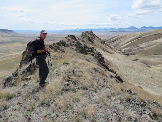
| Walking the Shaw Butte ridgeline |
 |
| The spike at the end of the Shaw Butte ridgeline we climbed |
 |
| Gordon Whirry reaches the top of Lionhead Butte |
 |
| Our lunch spot on the Lionhead "ramp" to the top |
 |
| Great views of Birdtail Butte as we came off Lionhead |
I think those of us in Great Falls take our magnificent scenery for granted, or downplay it when comparing it to the scenery in the Flathead or Gallatin.
That's too bad.
In this in-between season, the so-called "shoulder" between winter and summer, skiing and hiking, I've found right at my doorstep what could be considered national scenic treasures, our local buttes that dominate the landscape mostly west of Great Falls.
The most prominent is probably Square Butte (popularized by cowboy artist Charlie Russell). The most hiked is probably Crown Butte (because of the access granted by the Nature Conservancy). Between these two is long and low-strung Shaw Butte. East of Fort Shaw, Birdtail Butte and Lionhead Butte are hard to miss on the skyline. There are numerous other buttes in the Birdtail-St. Peter's Mission areas, most on private land.
These buttes are volcanic remnants formed by tubes of lava flowing from an old volcano in the Adel portion of the Big Belt Mountains up through cracks in the earth. These "dikes" have created long, craggy ridge lines.
This past week I climbed to the top of two of these buttes for the first time --- Lionhead (elevation: 5,051 feet) and Shaw (elevation: 4.541 feet) --- and been treated to thrilling views of the surrounding buttes, the Rocky Mountain Front and several "island" mountain ranges. Both are reachable via the Birdtail Road just east of Fort Shaw.
Shaw Butte is normally open (with permission) from the adjacent Cascade Hutterite Colony. There's block management hunting during the fall.
We went directly up from the Colony through some cliffs an then grass to the flat top, meeting a band of domestic sheep along the way. To the north we could look down into a deep ravine and the ridge line above that climaxes in a pointed spire above a large gravel pit below.
After enjoying the views from the top, we crossed over to that adjacent, serrated ridge and climbed the spire, before dropping back down to the gravel pit and over to the Colony. Our hike was only 4.3 miles with an elevation gain and loss of 1,250 feet.
Shaw and Lionhead were dotted with emerging wildflowers, dominated by kitten tails, yellow bells, shooting stars and Pasque flowers.
We liked our Shaw Butte experience so well that two days later we headed to Lionhead, which sits directly across a draw from the more dramatic and unclimable Birdtail Butte that dominates the area.
Both Birdtail and Lionhead are open to hikers through a 4,000 acres conservation easement. You can drive in through a wire-gate.
Lionhead has an impressive cliff band that must be breached and there are several ways to do it, with the most easy being looking to the east where there is a break in the cliffs and noticing a grassy "ramp". Use this ramp to get to the top and then follow it as it bends back toward a prominent peak of about 100 feet that is easy to scramble.
We descended the east along the ridgeline and my partners scrambled the length of the ridgeline.
With my balance and leg issues I descended about 50 feet from the top onto a grassy shelf and paralleled below my buddies about 50-100 below them. It was an easy descent.
Once on the valley floor it is easy to go through a short canyon and come around the adjacent ridgeline and hike below the cliffs and out. Instead, we reclimbed that adjacent ridge and descended that grassy ridge to complete this short trip. We had hiked only 2.8 miles, gaining over 1,600 feet.
Birdtail across the valley was a most impressive sight.
I'm somewhat surprised that these and the adjacent buttes haven't come under some kind organization to promote their recreational values. Agriculture has won out here.


No comments:
Post a Comment