 |
| Willow Creek Falls |
 |
| Katie walking through a field of prairie smoke wildflowers |
 |
| The Fairview Mountain ridgeline |
 |
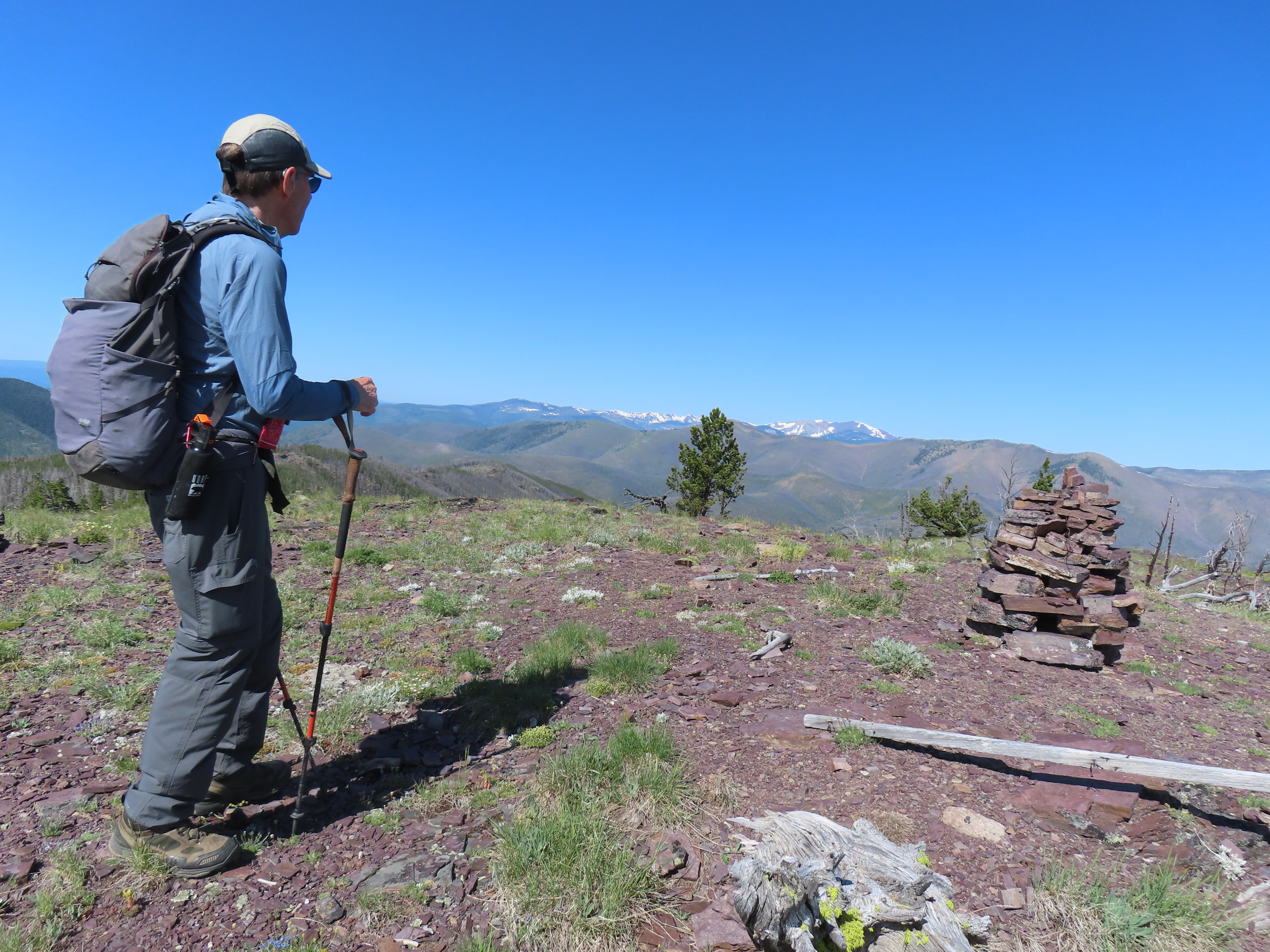
| Sticks in the air: a sign of success |
The 3,300 feet climb over 8.2 miles verified for me what I suspected: the Rocky Mountain Front is frightfully dry.
Usually we tromp through some snow on the way up or down.
Not this year.
Yet, this high spectacular hike was especially fun because we had Katie's friends from Southern Alberta with us --- the Women of Wonder group from the Waterton National Park area. This is a tough group of climbers, many of whom are ranch wives. In years past we've led Montana Wilderness Association (now Wild Montana) group hikes up this prominent peak outside Augusta.
Given that Katie is dealing with a blood cancer that affects her ability to process oxygen, I was delighted she made it to the top.
We were somewhat disappointed with the wildflowers. They were affected by the dry conditions and our unusually high Spring temperatures. But, the prairie smoke was impressive.
There was fire and smoke obscuring views from the south, probably the Jericho Fire near Helena.
But the skies were gorgeous and we had tremendous views across the Bob Marshall and Scapegoat wilderness areas.
Even if we hadn't made it to the top, the Fairview Willow Creek Falls hike is enough.
The water was low, but there was enough that the falls were still impressive.
It is two miles through the Willow Creek Falls canyon where we left the trail and headed up the mountain.
CDT: Lewis and Clark Pass to Rogers Pass
 |
| Silky Phacelia showing off on the way up Green Mountain |
 |
| Gordon Whirry at the top of Green Mountain |
 |
| Purple Townsendia Showy Daisies showing off |
 |
| Deep red Indian Paintbrush |
 |
| A bit of beargrass along the way |
This 10 mile hike between passes has also become an annual trip.
We did a guys to gals key exchange.
This hike seems to always include marveling at the amount of digging local grizzlies have done (we call it rototilling). This usually involves biscuit root. Sandhill crane sightings in a large camas field on the drive to the Alice Creek Trailhead. A search for blooming bitterroot on the flanks of Green Mountain.
This year we positively identified the only water source on this dry ridgeline, a spring on the east side of Green Mountain.
The deep purple silky phacelia really showed off.
We could see some snow on Red Mountain, at 9,411 feet the highest point in the Bob Marshall/Scapegoat/Great Bear wilderness complex.
While I could see the bitterroot pods, no blooms. That will have to wait awhile.
No comments:
Post a Comment