 |
| Iconic Arsenic Peak rises above the trail |
 |
| A selfie atop South Peak |
 |
| Looking back across a horse pasture on the way to South Peak |
Yes, I love to climb Sawtooth and Castle Reef and run the parallel ridges.
But generally, I find the trails there don’t offer the alpine, above-timberline vistas I crave.
So, I haven’t been back to the Blacktail-Mortimer-Big George country in about 17 years.
Gene Sentz of Choteau was my spur to revisit that country by pointing out that you could pick out South Peak (elevation: 8,425 feet) from Highway 89, making it a candidate for climbing, since I’m trying to get all the Front’s named peaks.
It is just far enough back from the trailhead that it took great effort to climb this beautiful, remote mountain.
It meant starting from the Mortimer Campground on Gibson Reservoir by picking up Forest Service Trail No. 252. The trail climbs steadily above Mortimer Gulch, just above the private inholdings on the Triple J dude ranch and some other summer vacation homes.
In the first three miles you have to go through two gates.
You’re in the trees most of the way, although in a couple of spots it opens up and you can see the large unnamed peak to the north, the top of Castle Reef to the east, and Sawtooth to the southeast. The views Wednesday were obscured by smoke drifting in from the fires in the west and a cold front that brought in rain clouds.
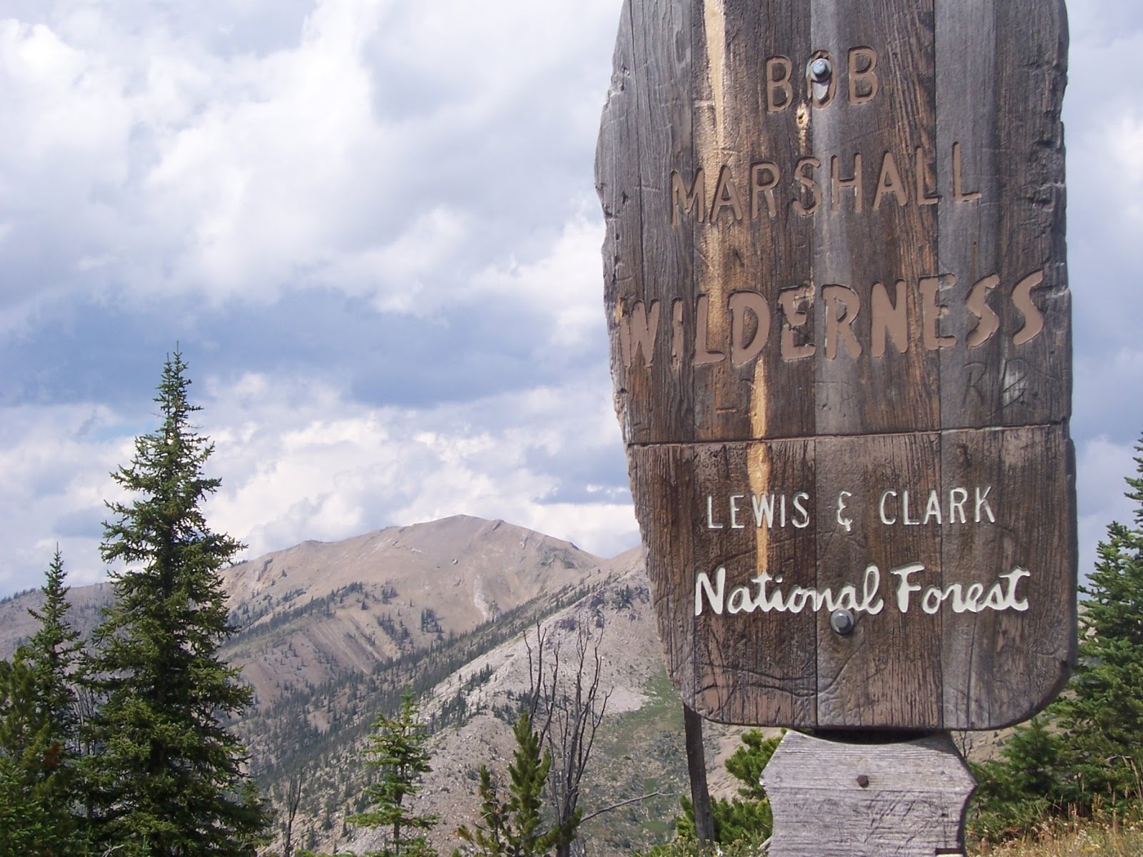
The trail crests the reef and heads down into Big George Gulch, where it intersects with Trail No. 251 and begins climbing to a pass above the head of one of the forks of Blacktail Gulch. Then it climbs steeply to the pass above Cabin Creek, a tributary of the North Fork of the Sun River, where it enters the Bob Marshall Wilderness. It switchbacks 20 times on its way up to this pass.
This is where the real mountaineering begins. You leave the trail here, and for the next mile and a half to the summit you follow game trails and the ridgeline.
The peak is just a walk-up, but this ridgeline offered the best views of the day, looking down into the Deep Creek country to the east, the high Teton country peaks to the north, the Sun River and Bob Marshall to the west.
Along the way I saw a good-sized flock of bighorn sheep.
As usual, I saw no one all day long, although I was on trail for 9 hours in good weather during the height of summer!
No comments:
Post a Comment