 |
| Wayne Phillips on top the high point on Alice Mountains |
 |
| Climbing the ridge line off trail |
 |
| The view from our lunch spot below Alice Mountains high point --- across Falls Creek and Scapegoat Wilderness |
 |
| The limestone cliffs above Alice Creek trail, along Continental Divide Trail |
The weather has been so mild and clear that October has turned out to be a "bonus" month for hiking and climbing this year.
Sunday, I joined my wife and two of her friends on a climb of Mount Wright (elevation: 8,875 feet) in the Rocky Mountain Front, to enjoy the fabulous views across the Bob Marshall Wilderness. It was my third time up this mountain this season, my wife's second.
The views on this nearly 8 mile hike did not disappoint. They were so clear we could see deep into Glacier Park, and across the Bob to the Swan Range.
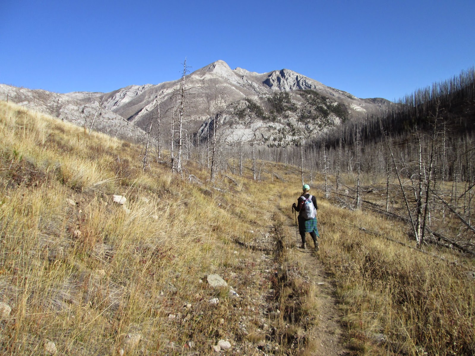
On Monday, it was a climb of the high point in the Alice Mountains, a sub-range on the Continental Divide Trail east and north of Lincoln, not far from the Lewis and Clark Pass.
It was a 10.1 miles hike up a mining road from the Alice Creek picnic area at the end of the Alice Creek Road converted to a Helena National Forest Trail No. 490, rising 3,000 feet to the 8,135 feet summit.
On the way up we cut switchbacks and went directly to the top on a ridge pointing at the summit.
On the way down we took this scenic road/trail all the way, adding 2 miles to the trip, and well worth it.
The views from the top of Alice high point were of the Falls Creek country, Caribou, Red, Scapegoat, Steamboat, Bear Den, Monitor peaks.
For details on the Alice Mountains hike click on this link:
 |
| Beth Thomas and Katie Kotynski attack the summit ridge |
 |
| Coming off the top |
 |
| Beth Thomas and Sarah, from Sweden, on the top of Mount Wright |
 |
| Back to the car |
 |
| West Fork Teton, a wilderness stream |
 |
| Sarah, in front of the first mountain she's ever climbed, Mount Wright |


No comments:
Post a Comment