 |
| A Chinook Arch cloud formation was with us much of the morning |
 | ||
| Mark Hertenstein working his way up Jones Creek center ridge in Front |
 |
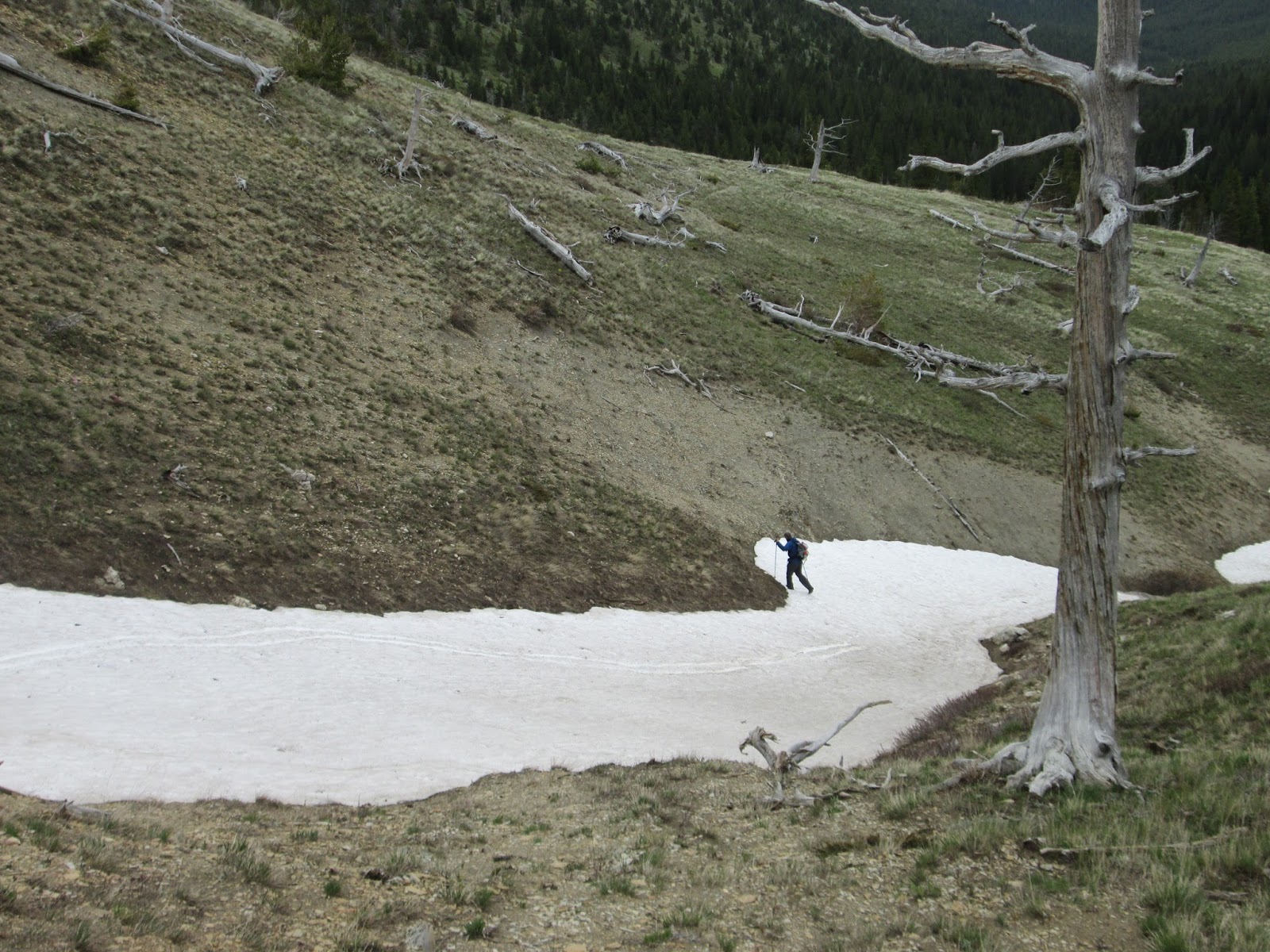
| On the ridge, taking a break as we work our way to the north |
I've always enjoyed the Jones Creek Trail No. 155 off the Teton River Road, using it to access peaks like Choteau from the west, the unnamed ridge on the west that define this scenic valley, or simply for a hike or ski up the bottom.
When I say "trail" here I use the term advisedly as it isn't marked other than a road sign, and it means following the large wash up a usually dry creek bed.
On Sunday I was in search of any markers I could find for the West Fork Trail No. 156 that is supposed to split from Jones Creek at about 1.5 miles.
When we hit the junction of Jones Creek and the West Fork, we found a pretty good trail that took us up the ridge that separates the two creeks, instead of what I had expected --- a trail that followed just above the West Fork.
It was our lucky find.
 |
| Incomparable scenery from the ridge |
It is the classic Front/Bob Marshall limestone ridge, much like what we've found traversing from Mount Lockhart to Teton Peak or along the Washboard Reef from Teton Pass.
We found ourselves in the center of alpine valley, with the Choteau ridge to the east, and on the distance, great views of snow-covered Old Baldy, Rocky peak, Headquarters Pass, Teton Peak, Lockhart, Mount Wright and Patrick Gass. To the south, Cave Mountain dominated.
It rises about 2,600 feet from the road, and we traveled it about 4.5 miles to a high point of 7,730 feet.
This ridge intersects at a 90 degree angle into a divide above the East Fork Teton that comes off Blackleaf Canyon. It was spangled with wildflowers, particularly rich in deep-blue forget me nots.
We dropped to that divide's saddle to the west and came down the West Fork, looking for the "trail," enjoying the scenery along the way, following deeply green, grassy slopes and carpets of glacier lilies. I've never seen so many glacier lilies. Eventually we found a trail near the creek about a half mile above the main creek junction.
Coming out, we were in a valley of tall mountains and facing Cave Mountain.
Exciting trip.
Click on this link for more photos, map, graph: Jones Creek exploratory
 |
| Very small amounts of snow along this ridge line |
 |
| Descending into the West Fork Jones Creek |
 |
| Glacier lilies everywhere |
No comments:
Post a Comment